
This map shows more of Lake Pend Oreille
Below are Aerial Photos of Lake Pend Oreille
and River as well as Downtown Sandpoint. They are
Provided for you enjoyment and have been taken
from various locations while flying over this huge lake.
Lake Pend Oreille and the rivers that connect to it cover
a vast area and seeing it from the air is the only way to
really be able to see the whole picture.
Pend Oreille Lake and River view

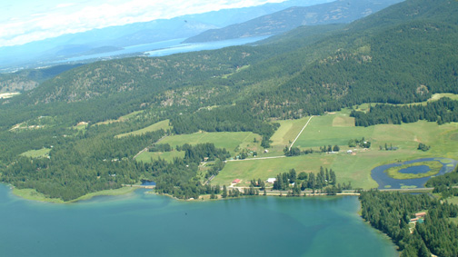
Looking East, Springy Point on right,
Bridge ahead, Sandpoint top left.

Looking Southwest, bridge left,
City Beach & Sandpoint, right.
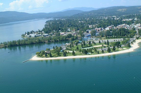
City Beach with Sandpoint in the background

Downtown Sandpoint & Sand Creek

Open water Lake Pend Oreille
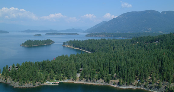
Some of The Islands on Lake Pend Oreille